


Services
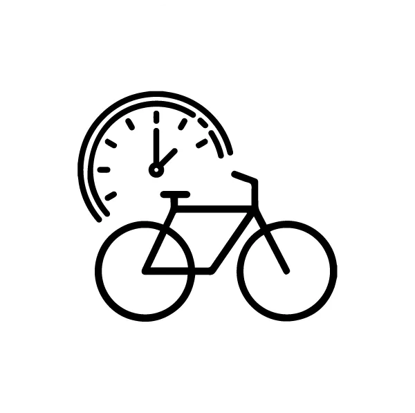
Our GPX tracks
Would you like to ride in our valley but don’t have a route in mind?
Let our GPX tracks guide you through the valley’s best trails, all starting from our Octave house.


Traces Route
The Croix Blanche tour
Distance: 53km
Difference in altitude: 630m
Difficulty: blue
Octave’s verdict: a well-known local circuit, a lovely hilly ride between Bagnères and Lourdes.
Capvern l’Escaladieu
Distance: 54km
Vertical rise: 1,000m
Difficulty: blue
Octave’s verdict: A tour of the foothills with panoramic views of the Pyrenees on the way back.
Col des Palomières
Distance: 38km
Vertical rise: 1,200m
Difficulty: red
Octave’s verdict: A short but dense outing on all the faces of the Col des Palomières.
Aspin – Azet – Hourquette
Distance: 115km
Ascent: 2,800m
Difficulty: black
Octave’s verdict: a majestic triptych featuring 3 of the Tour’s legendary passes between the Campan and Louron valleys.
Tourmalet via La Mongie
Distance : 99km Elevation: 1 952m Difficulty: black Octave’s advice: let’s go to the legendary Col du TOURMALET via La Mongie. You will go back down the pretty road of the Gorges de Luz before starting the return to Bagnères-de-Bigorre.
Tourmalet by Luz Saint-Sauveur
Distance : 99km
Elevation : 1 952m
Difficulty : black
Octave’s advice: the Tourmalet via Barèges. Enjoy the first part up to Luz to warm up. Then, it’s time for the 19km climb. Halfway, you’ll enjoy the Laurent Fignon section reserved for cyclists.
Gravel tracks
Bernadaous
Distance: 31km Ascent: 1,100m Difficulty: blue Octave’s verdict: A nice summary of the Col des Palomieres on both the outward and return legs.
Lesponne Valley
Distance: 37km
Elevation gain: 1,000m
Difficulty: blue
Octave’s verdict: A beautiful trail through the Lesponne valley to Chiroulet, the start of the famous Lac Bleu walk.
La Croix Blanche
Distance: 40km
Vertical rise: 900m
Difficulty: blue
Octave’s verdict: A beautiful, very hilly circuit in the foothills!
In the Barronies
Distance: 43km
Vertical rise: 1,100m
Difficulty: blue
Octave’s verdict: Head for the Escaladieu abbey and its unique view of the Pic du Midi.
Postcard panorama guaranteed!
Col de Courade
Distance: 30km
Difference in altitude: 800m
Difficulty: red
Octave’s verdict: A tough climb up to the paragliders’ departure point, but a magnificent view of the Bagnères valley at the top.
Col de Beyrède
Distance: 55km Ascent: 1,220m Difficulty: red Octave’s verdict: Join the wild and beautiful Col de Beyrède via the Col d’Aspin.
Magnificent views over the Bagnères and Arreau valleys!
Enjoy the peace and quiet and the sound of the bells of grazing cows all around you.
Col d’Aspin
Distance: 60km Ascent: 1,222m Difficulty: red Octave’s verdict: Enjoy the beauty of the Col de l’Aspin via Tuco and the start of Hourquette.
The Pic du Midi
Distance: 70km
Ascent: 2,300m
Difficulty: black
Octave’s verdict: The mythical Gravel climb from the valley to the Pic du Midi observatory.
Warm up your calves!
Mountain bike tracks
Le Bédat
Distance: 9km
Difference in altitude: 400m
Difficulty: blue/red
Octave’s verdict: Technically relatively accessible in dry weather, but beware of slipping if the stones are wet. A very pleasant and fun trail, with magnificent views from the orientation table and the Vierge du Bédat.
Caesar’s camp
Distance: 12.5km Difference in altitude: 300m Difficulty: green/blue Octave’s verdict: Circuit suitable for the general public, with the possibility of more challenging sections on the red trail. A fairly steady and not too steep mountain bike climb will take you to the start of the trail.
Les Palomières
Distance: 16km Difference in altitude: 600m Difficulty: blue Octave’s verdict: Climb via palomière and complete descent of the Gerbe Bleue enduro. A not too steep ascent and magnificent scenery on the heights before starting on the freshly opened Gerbe blue trail, accessible to all.
Mirkwood
Distance: 24km Ascent: 850m Difficulty: red/black Octave’s verdict: Climb by road and allow at least 1h30 to reach the start of the mythical Mirkwood descent. A challenging natural trail, alternating between roots, rocks and loose soil, you’ll need a solid technical base to get to the finish!
Col d’Aspin
Distance: 49km Difference in altitude: 1,080m Difficulty: red Octave’s verdict: Climb the mythical Col d’Apsin by road before tackling the final km on a mountain bike and the enduro trail back to Lac de Payolle.
Beliou Cross
Distance: 53km Ascent: 2,342m Difficulty: black Octave’s verdict: A superb summary of the area!
You’ll need to be in good physical condition and have a good hand on the handlebars!
But fun guaranteed!

Find all the mountain bike and enduro trails in our area on the Tourmalet Pic du Midi Tourist Office website.